|
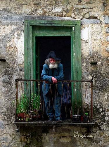
Borghi Fantasma (Ghost Towns) of the Cilento The obvious thing that you notice when touring through Italy is its geology. The mountains, cliffs and hills are mostly a direct result of volcanic action--and in addition, there are three active volcanoes still terra-forming the landscape. The weather is also a factor with most of Italy experiencing a "rainy season" beginning in late October. When heavy rains come, there are floods and landslides. Earthquakes are a regular occurrence throughout Italy, too. All these can be disastrous for communities--enough so that they must abandon their homes. Aside from the weather, there have been many other factors causing towns to be abandoned throughout Italian history: harsh living conditions, plague, lack of running water and electricity, failure of crops, pirate raids, bombings and even the massive emigration to the Americas for people striving for a better life for their families. In fact, some put the number of Ghost Towns in Italy at nearly 20,000! Many of these are wonderful snapshots in time ripe for the Slow Travel Voyager to discover. The Cilento has been affected by some of these factors causing communities to abandon their homes--while creating some interesting Borghi Fantasma, Ghost Towns... 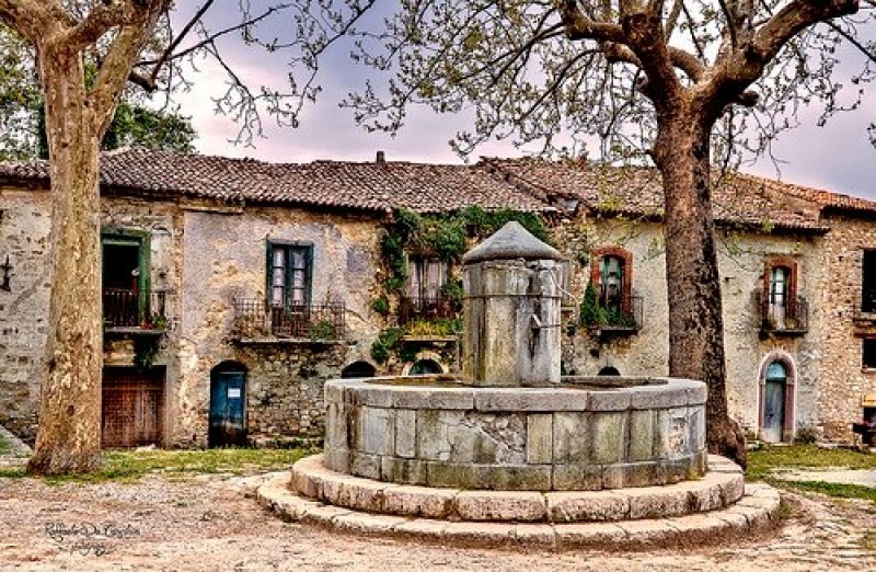 Roscigno Vecchia's fountain
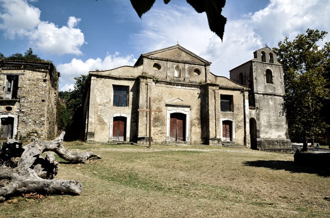
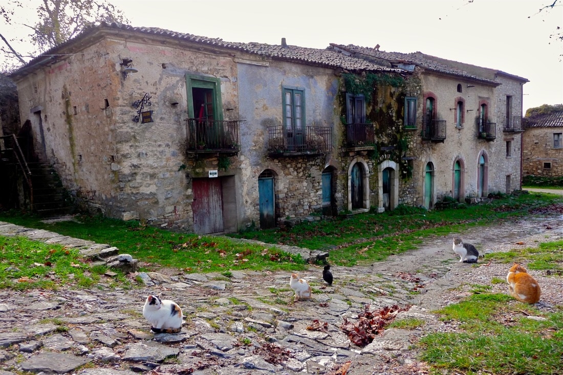
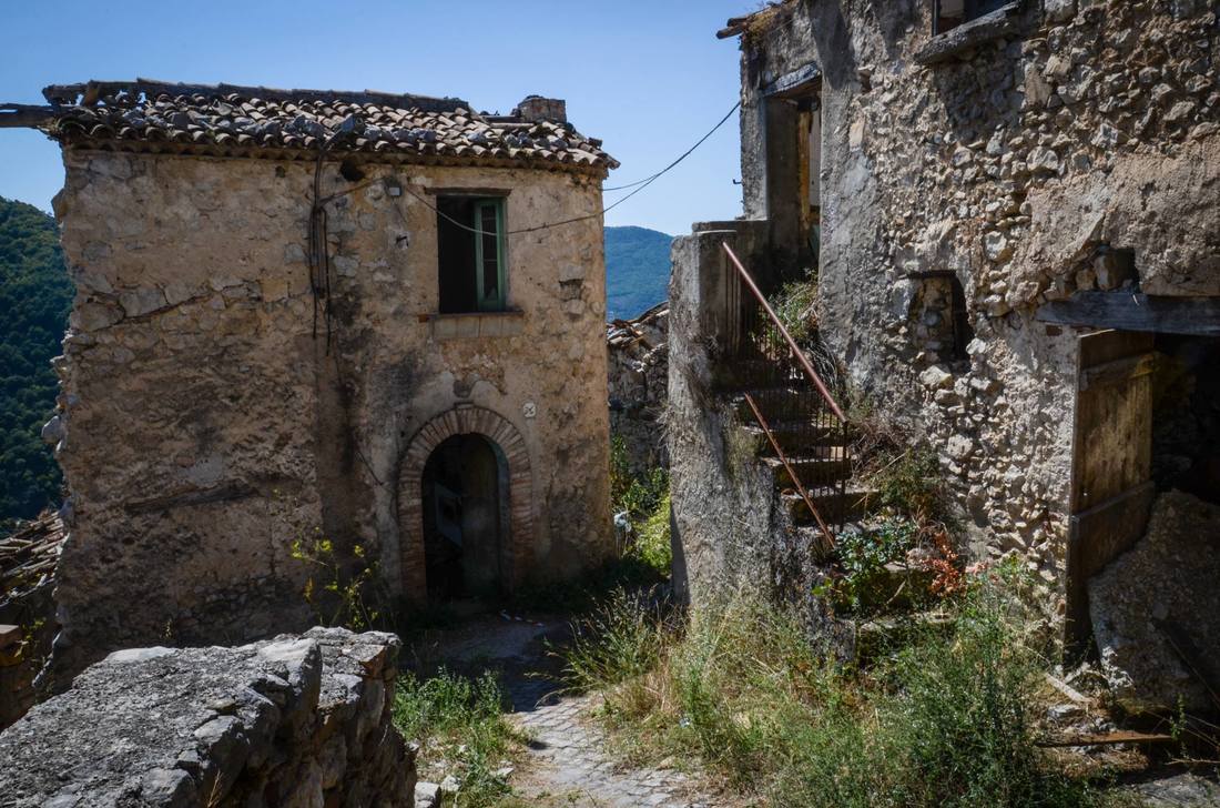
Romagnano al Monte 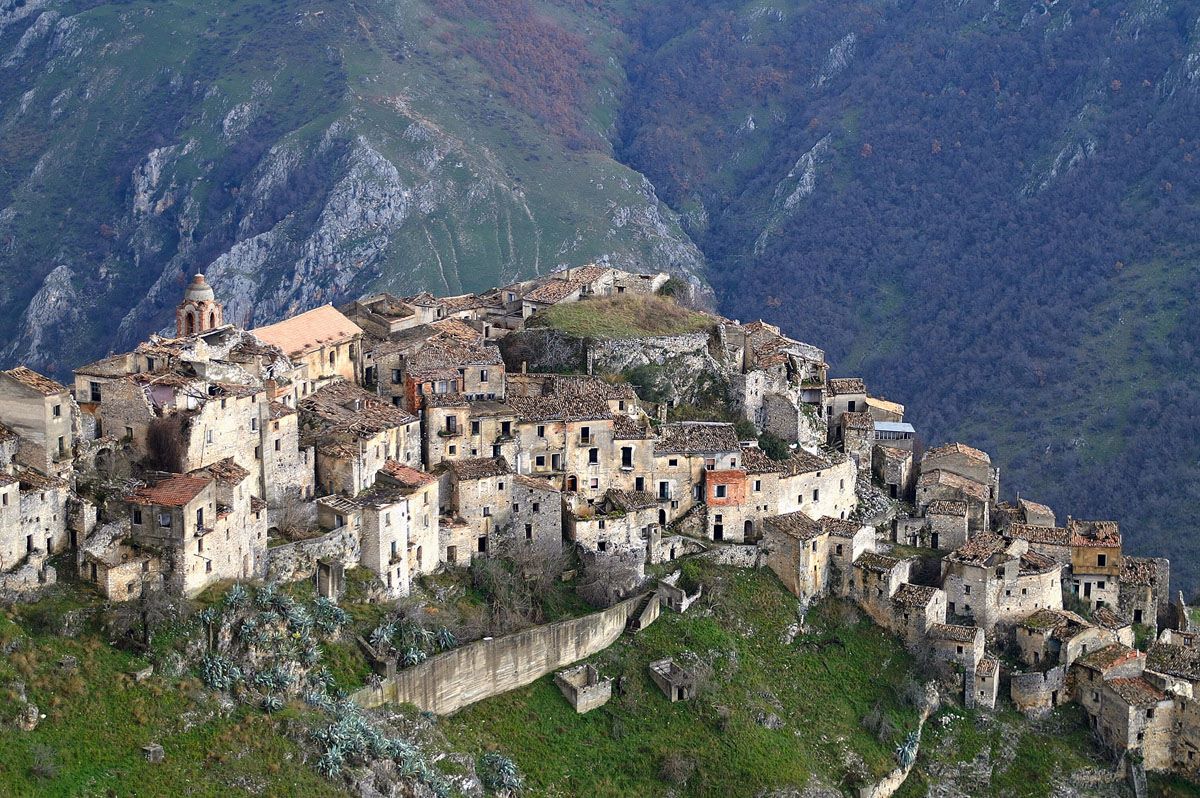 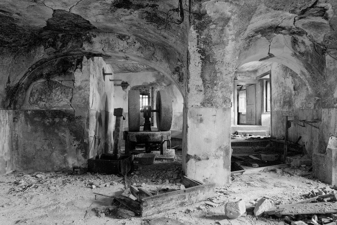 The remains of everyday life are in many buildings in the village The remains of everyday life are in many buildings in the village A sixty mile drive miles from Roscigno Vecchia will bring you to the ghost town of Romagnano al Monte, right on the border of Basilicata. It has a long history from the late Roman era over 1000 years ago with kings, lords, barons, brigands, and heads of murderers displayed in the piazza. After a 1980 earthquake the 600 inhabitants were relocated to a new Romagnano nearby. When I visited the site in 2014 access was restricted with a rehabilitation project underway to promote tourism. Tourists are welcomed today. The village sits 1300 feet above the Platano river canyon below and boasts two fortified religious buildings dating from the 13th century with the walls of a castle still evident. Many houses still stand, some in near perfect condition but most others severely damaged by the earthquake with nature taking over. Kitchens may still have dishes and pots, with other rooms showing little glimpses of the lives that prospered here... a doll's head, prayer icon, furniture, tools or even shoes. Click to see MAP.
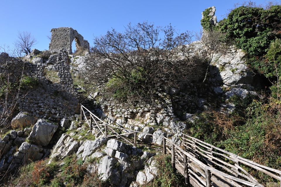
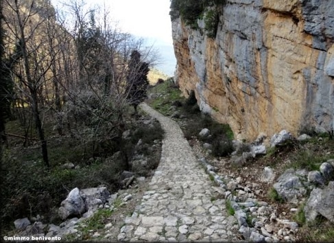
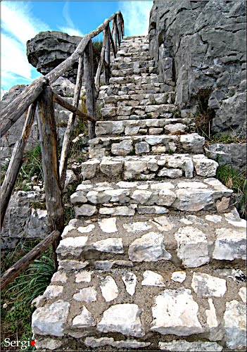
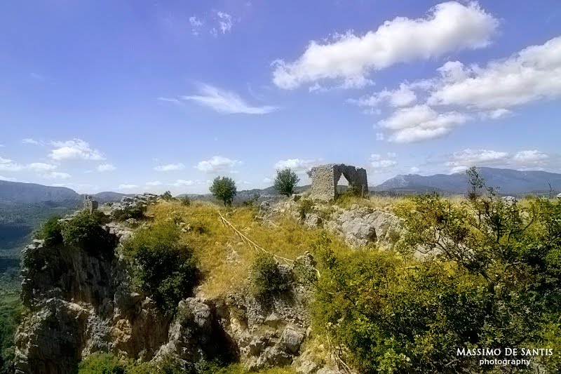
Borgo Medioevale di San Severino 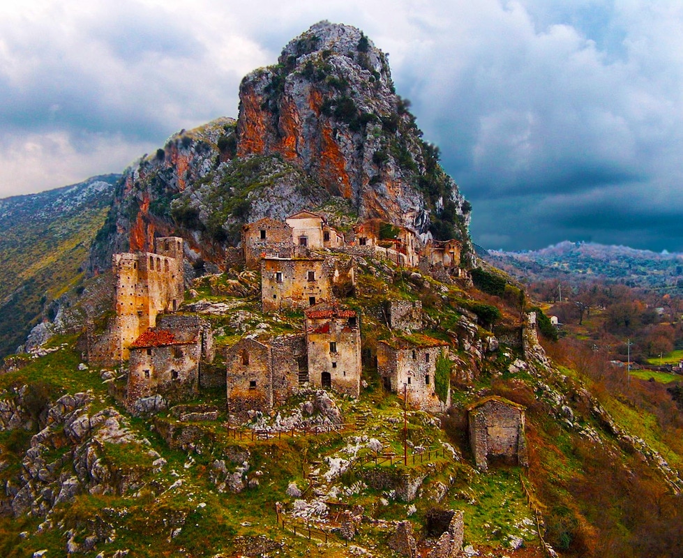 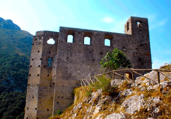 Il Castello Il Castello Perched just above the modern village of San Severino di Centola is a medieval ghost town that was abandoned decades ago, when the inhabitants decided they would like to live closer to the new railroad station. A thousand years ago, a castle and watch tower were built to protect against invaders from the Gola del Diavalo (Devil's Gorge) below. The ruins of the castle are still there to explore along with the ruins of the Church of Santa Maria degli Angeli and other homes in the village. In August a festival is held in the Borgo and a living creche during the Christmas season. Click for MAP. 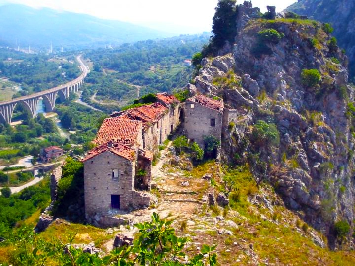 Sacco Vecchio  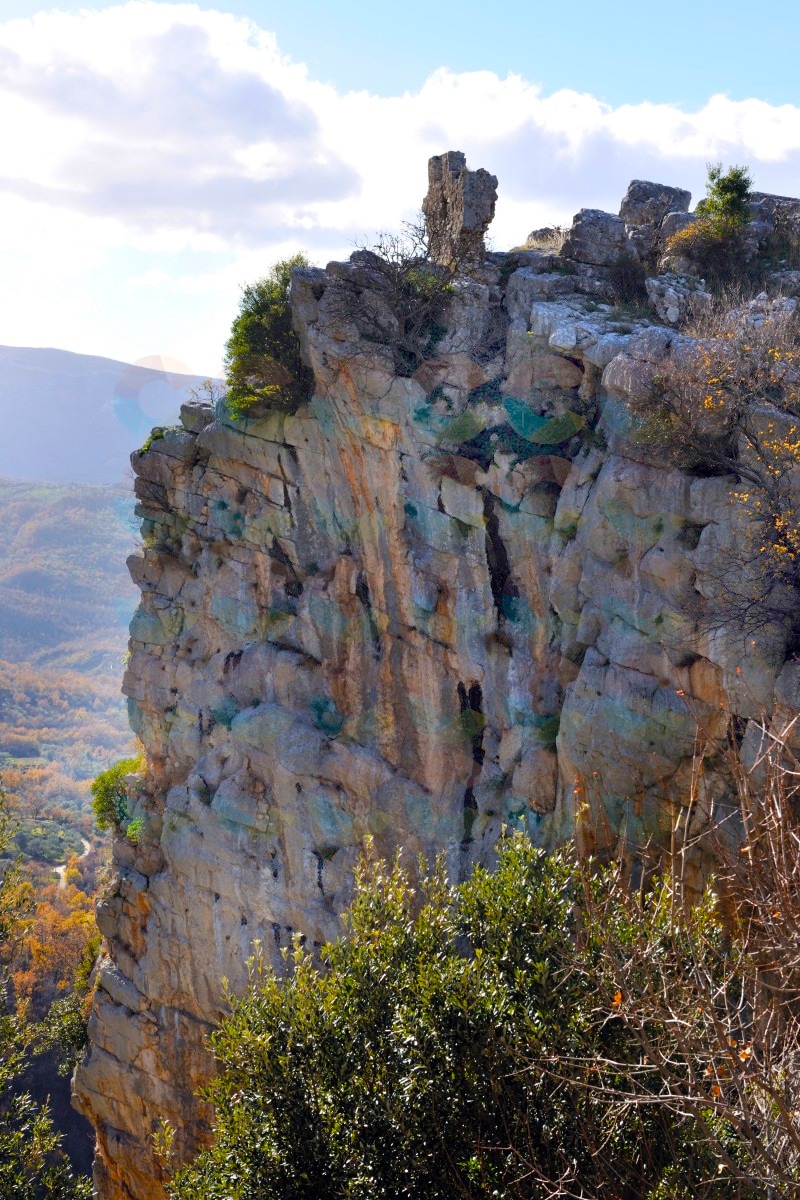 Ruins of Sacco sit on top of a dramatic precipice Ruins of Sacco sit on top of a dramatic precipice Sacco Vecchio is a different type of ghost town, having been abandoned for unknown reasons between the 9th and 11th centuries AD, possibly due to either plague or invasion by brigands or other foreign forces. Sacco Vecchio was abandoned by its inhabitants who moved more downstream at the foot of Monte Motola. Today, visitors can hike up some very well maintained rustic steps to the ruins of the old village (about 3/4 mile walk from the modern village of Sacco), looking more like an ancient archeological site than other ghost towns abandoned in more recent times. From the 4th century, the area was settled by the Longobards and Basilic monks. There are also structures and foundations that have been dated to pre-Christian times.
 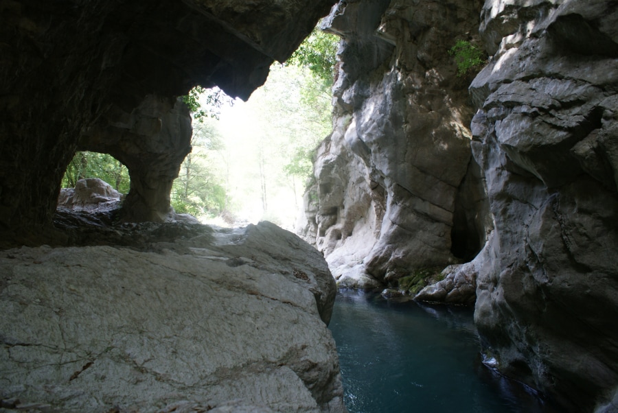 Sorgenti del Sammaro Sorgenti del Sammaro Some ghost towns come with legends and Sacco Vecchio is one of them... According to an 18th century legend, the castle on top of the cliff was built around 600 AD by Duke Zottone di Benevento, to ward off the Byzantines. The overly jealous and possessive Duke accused his wife Saccia of adultery and locked her away in the castle. After the destruction of the castle in the 8th century, the inhabitants built their new village downhill called it Saccia in memory of the Duke's innocent wife. The site is situate on top of a 400 foot tall cliff with sheer rock walls over 200 feet tall. There are many hiking trails in the area and the gorge below --the Sorgenti del Sammaro (Sammaro Springs Gorge)--that will take you to amazing rock formations shaped by the torrents flowing through the gorge. The nearby modern village of Sacco is also very picturesque and worth a visit with its narrow streets, flowered balconies and the cliffs towering above. Don't forget to visit their museum of wood artisan crafts. Click to see Map. Grottoes and Caverns of Cilento 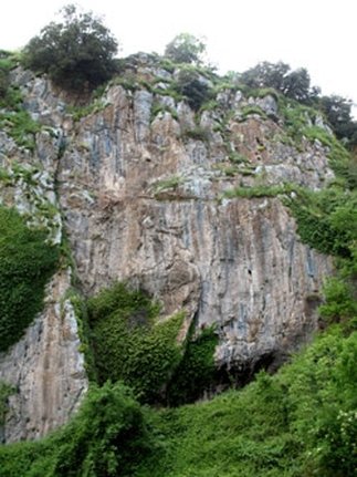 Entrance to the Grotte is just behind the greenery Entrance to the Grotte is just behind the greenery Grotte di Polla Explored in 1956 by some the Grotte di Polla contains concretions of stalactites and stalagmites, but still retains a deep layer of mud on the bottom that makes things difficult for speleological explorers to explore further. How to get there: cross the village of Polla, and follow the signs for the Convent of Sant'Antonio. One quarter of the way up Via del Convent di Sant'Antonio on a sharp curve you will find the entrance to the Grotte up a short path hidden by some vegetation. At this writing, it is not clear about how to gain access to the Grotte di Polla. It's best to contact the Commune of Polla. This video shows a 3-D plotted animation tour of the Grotte di Polla. La grotta di San Michele Arcangelo 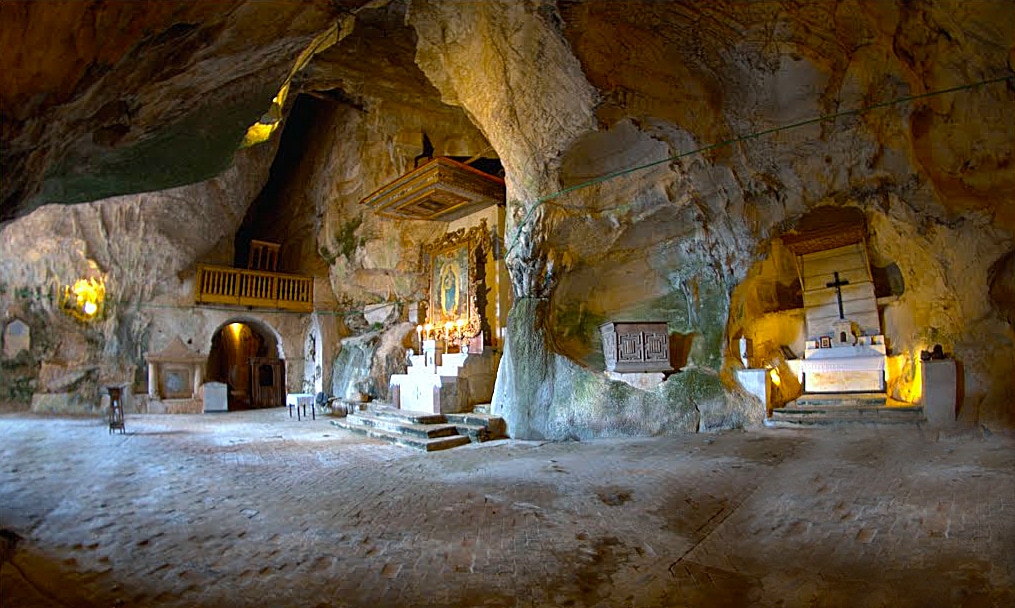
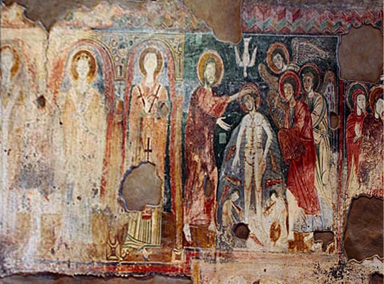
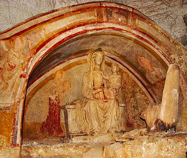
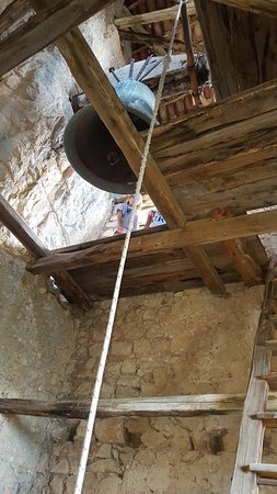
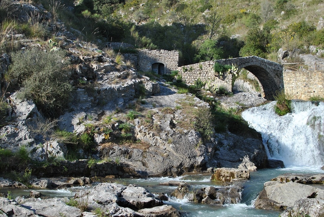
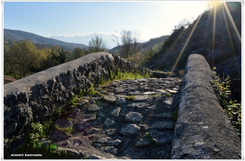
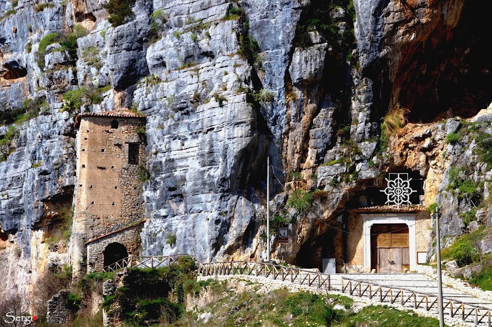 Bell tower and entrance to Grotta di San Michele  "Antece" - il Guerriero di Costa Palomba "Antece" - il Guerriero di Costa Palomba Another interesting discovery in Fasanella is found 2000 feet up above the town--"Antece" - il Guerriero di Costa Palomba ("Antece", the Warrior of Costa Palomba)--a rock sculpture dating back to the 4th century BC. The ancient warrior's name is "Antecce" (in local dialect), which can be translated as either "The Ancient" or "The Immovable". He is life-sized and dressed in a warrior's tunic holding with a sword strapped to his back, a lance and a shield at his side. The road to the site is well marked from the village with a short, well kept path taking you by foot up to Antecce. 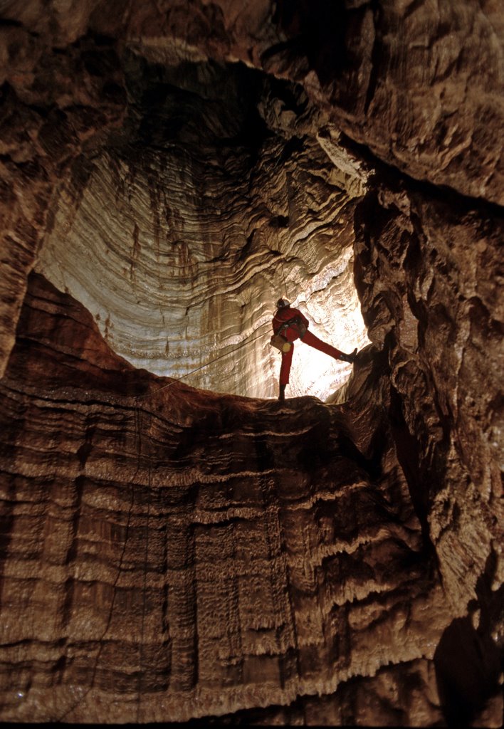 And for serious spelunkers, there is the Grava dei gatti Monti Alburni, a wonderful cave with a huge vertical sinkhole. Also up in these hills are found an observatory, several mountain chapels and sanctuaries, and stacked rock spires. It's definitely a mystical place to visit. The road to the cave (grotto) is immediately off of the main square in the town at the end of Via Primavera. The road leading up to Antecce is on the other end of town. 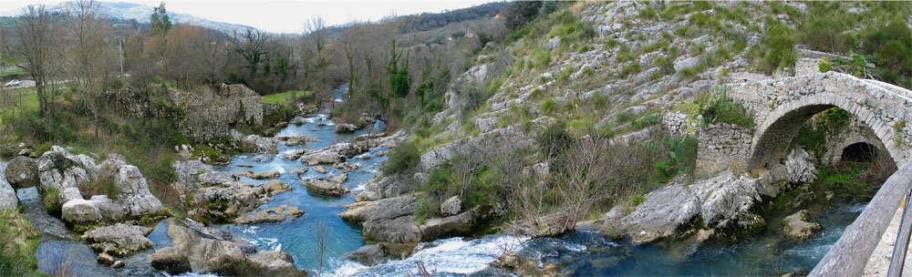 Auso and its Roman arched bridge 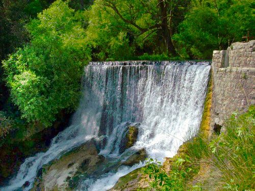 The falls from the containment pond at the top of the Auso spring The falls from the containment pond at the top of the Auso spring While in Sant'Angelo a Fasanella, there is one other site you should visit... Cascate dell'Auso, natural springs, a source pouring out of the mountain, with a series of waterfalls and its ancient Roman arch-top bridge. This is a well-cared for natural park site with walkways, bridges, ruins of old structures and overlooks. There is a 150 foot deep sinkhole directly on top of the 1000 foot cliff that rises just above the Auso spring source, evidence of the power of water in this Karst environment. Water is everywhere underground, slowly eroding the limestone with its acids, forming caves and occasional sinkholes. This is a great spot for photos, a comfortable walk and a picnic. Take a left turn at the entrance for the Grotta di San Michele Arcangelo to get to the Auso park, about 1 mile from town.
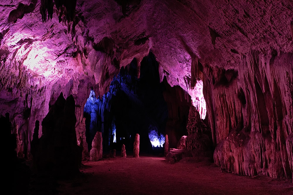
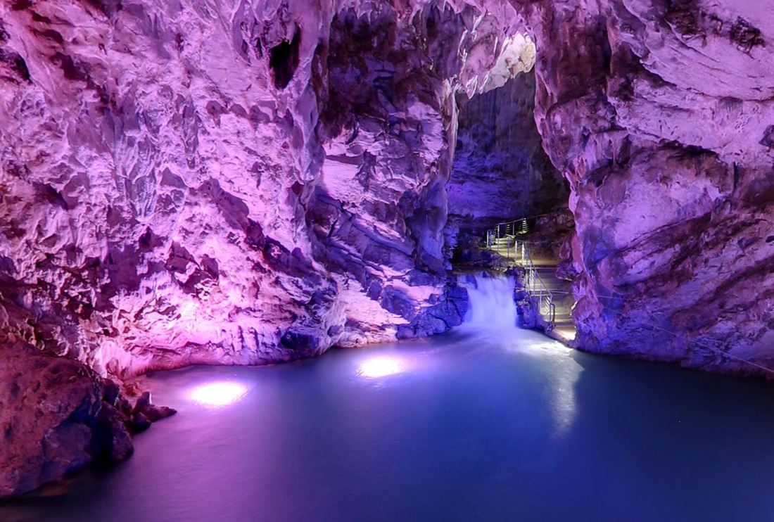
Grotte di Pertosa 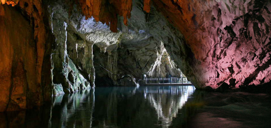 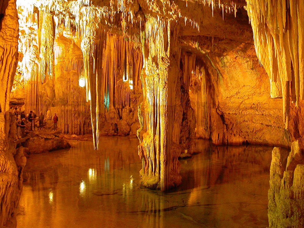 The Grotte di Pertosa are one of the best--and largest--caverns to visit in all of Italy (although the huge caverns at Castellana di Grotte in Puglia are my personal favorite). Only 40 minutes from Salerno at the northeast corner of the Monti Alburni massif (mostly highway) and about one hour 40 minutes from Agropoli (going around the mountains), they are the only caverns in Europe where you can navigate an underground river by boat. The Fiume Nero tour is mixed with silence, magnificent rock formations, occasionally interrupted by the roar of the underground waterfalls. The grottoes took Mother Nature 35 million years to form and stretch for nearly two miles under Alburni Mountains, rich with concretions, columns, "bacon"formations, stalactites and stalagmites of endless colors and sizes. One of the most popular grottoes in the region, they are often rented for receptions, weddings, film crews and even fashion shows. The temperature is 60 degrees Fahrenheit all year long. Click to see map.
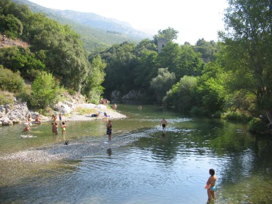
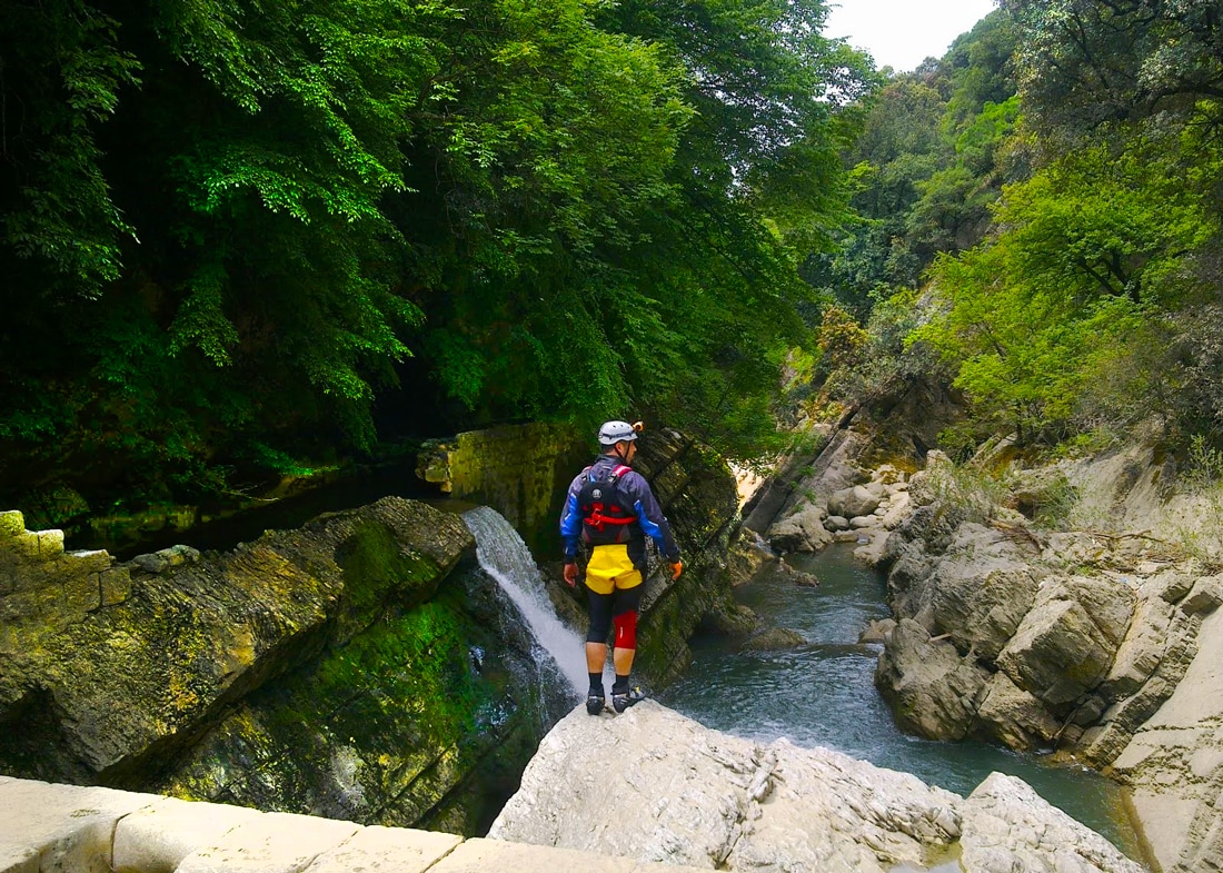 Canyoning in the Campostrino Gorge 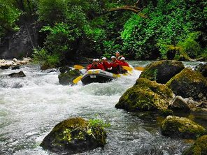 The tiny village of Pertosa seems very well groomed due to the tourist popularity of its Grotte, but there not much else to do there aside from filling up your gas tank and eating at one of the many tourist ristorante. But there is is one more attraction to the area... Less than a half mile south of Pertosa, the Campostrino Gorge runs from the nearby hamlet of Muraglione and the village of Auletta is a popular spot for river rafting, kayaking and canyoning. is a popular spot for river rafting, kayaking and canyoning. In fact, if you are into these sports, the entire region of Cilento is ripe with options due to the many rivers and gorges. Grotte di Castelcivita 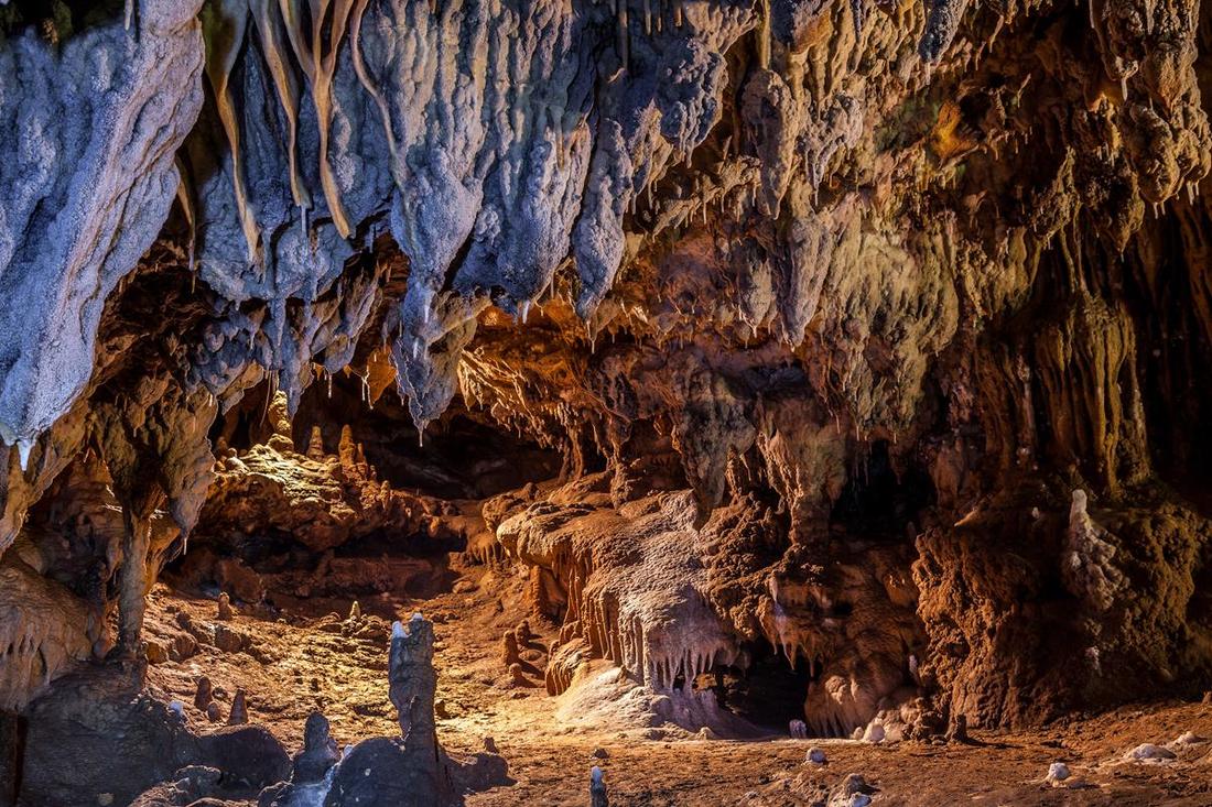 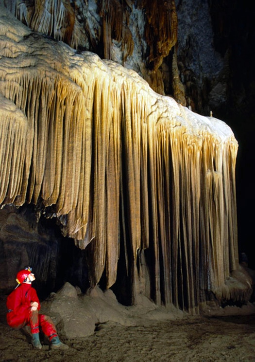 Lying just outside the Parco Nazionale del Cilento e Vallo di Diano, at the southwest edge of the Alburni massif, the Grotte di Castelcivita caves extend for 3 miles, making them one of the largest caverns in southern Italy. They offer one shorter trail for tourists (3/4 mile) and another 3 hour excursion (1-3/4 miles long) for amateur cavers. The grotte contain world class stalactites and stalagmites and other bizarre mineral formations. The entrance to the caves are situated about a mile downhill of the hilltown of Castelcivita. There is a small ristorante/pizzeria and outdoor stands with locals selling crafts like wood carvings and pottery, and local produce like honey or cheese. Another colorful bar tabacchi sits one hundred meters down the road with a sunny outdoor patio, drinks and food. The Grotte hosts many types of performances, too... multimedia, performance artists, concerts, etc. 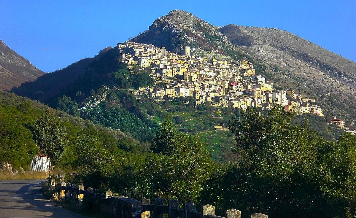 Town of Castevicita
As you can see, this brings us nearly back to where we started our tour of the Cilento in Paestum... a 45 minute drive from Castelcivita. Of course, there is so much to do in the Cilento that you can make your own itinerary depending on your interests and the time you have to spend there. The Cilento can be where you head toward after visiting Naples and the Amalfi Coast, or you can combine a trip through the Cilento on the way to points further south in Basilicata, Puglia, Calabria or Sicily. The more you explore southern Italy, the more wonderful things you'll discover... like the Cilento! I hope this three part series has helped. Buon viaggio! --Jerry Finzi Copyright 2017, Jerry Finzi/Grand Voyage Italy - All Rights Reserved
|

Categories
All
Archives
May 2023
|
 RSS Feed